Objectives
Students will know how tides affect plant community distribution and nutrient uptake in a freshwater tidal wetland and will be able to investigate their ideas through a field trip to the wetland.
Overview
Rating:
- Students identify common wetland plants and their distribution patterns in a freshwater tidal wetland through classroom activities, direct observation and use of geographic information at a study site.
- Students pose hypotheses regarding whether tidal wetlands play a significant role in nutrient uptake during the ebb phase of a tidal cycle.
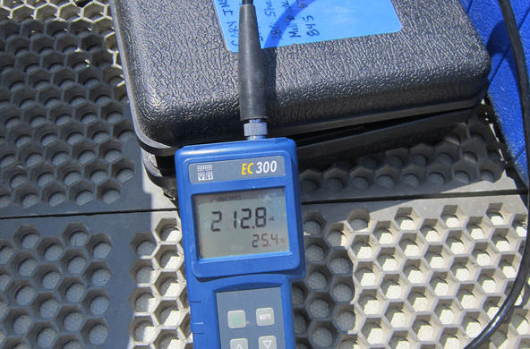
- Students collect water samples at study site during the beginning and end of the ebb phase of the tidal cycle and analyze for nitrate and ammonium concentrations.
- Students discuss their results and compare with published scientific data.
Materials
- Laminated aerial photos or Google map of wetland study site
- Laminated GIS map of wetland vegetation (three examples are available)
- Copies of booklet “Hudson River Field Guide to Plants of Freshwater Tidal Wetlands” (NYSDEC publication) and/or Cary Institute Tidal Marsh Field Guide
- Clipboards
- Computers w/internet
- Dry/wet erase markers
- Water Quality test kits for nitrate, temperature, dissolved oxygen, and ammonium (optional)
- Copies of Freshwater Marsh Worksheet
Procedure
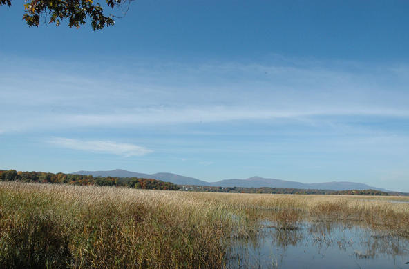
Preparation: Once you have located a tidal wetland to study, the use of aerial photography through Google Map or Earth is a fun and effective way to motivate students in learning about their local environment. Exploration of the tidal wetland of interest becomes more meaningful in a geographic context in relation to students’ experiences. Students should spend some time remotely navigating the Hudson Estuary on Google Earth or Maps. Many GIS maps of Hudson River wetlands are available; maps of wetlands at Tivoli Bays, Kingston Point, and Constitution Marsh are provided with this lesson as examples (contact Dr. Stuart Findlay at the Cary Institute for additional sites). Copies of booklet “Hudson River Field Guide to Plants of Freshwater Tidal Wetlands” may be available from NYSDEC or check local nature preserves or organizations in your area. Your field study plan will vary depending on available equipment (kayaks, water testing instruments, etc.) and the nature of the terrain around your site.
Engage: Ask: Why are wetlands important? Students should be able to answer this based on their experiences with previous lessons – wetlands are important habitat, regulate water flow, improve water quality, recharge groundwater, and protect from erosion. Ask students to identify wetlands near the school or near their homes. Explain that during this lesson, they will be visiting a local wetland and investigating the changes that take place over the course of an ebbing tide.
Students will explore your chosen study site on Google Earth and compare with laminated aerial photo of site. It is helpful to project the Google Earth image for students of another wetland and explain the distinguishing features (land vs water, different vegetation types, etc). Have students log onto Google Earth and navigate to the study site and play with the scale. Let them explore other areas throughout the estuary (time permitting) to develop geographic perspective.
Next, hand out the prepared laminated photos of the wetland site and have students use a marker to draw an arrow in the river showing drainage direction to the ocean as well as arrows showing tidal flux in and out of the wetland. Students may need a review of the tides (see lesson on Tides).
Explore: Hand out the Freshwater Marsh Worksheets and ask students to answer the questions in Part 1 before they go out into the field. Students should make predictions of locations of the three different vegetation zones on the aerial photos with their markers. Students can then compare their predictions to observations on field study as well as comparing with published data. During the field trip, students should complete Part 2 of the worksheet.
Optional: If iPads or digital cameras are available, have students take photos of the vegetation in the marsh and create a virtual field guide (the Project Noah app is free and allows students to upload their images and supporting information). Challenge students to provide examples and rationale for different plant species’ morphological adaptations with respect to the tides as a limiting factor.
Explain: This field trip will give students a first-hand look at marsh vegetation, as well as a sense of whether they can predict vegetation types from aerial photos and how the vegetation type affects water quality. Students will compare their vegetation results with the GIS map of wetland vegetation for the study site, evaluate the chemical results and develop explanations.
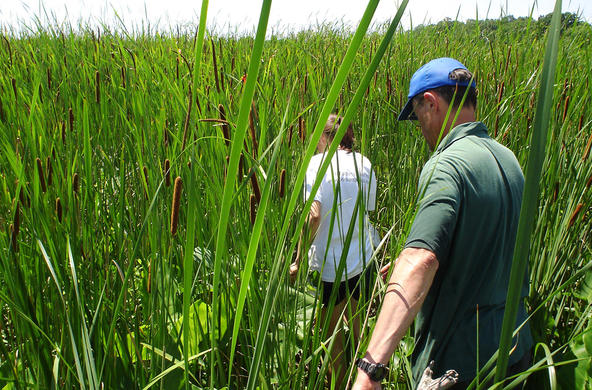
Marsh plants, particularly the taller graminoid plants (common reed and cattail), are very good at removing nitrate from marshes, and wetlands can remove 85-99% of ammonia. Most wetlands are thus a “sink” for nitrogen, which means they absorb more nitrogen than they release. In the Hudson River, wetland plants remove nitrate-nitrogen from the water on the incoming tide, returning water that is lower in nitrate-nitrogen levels to the main stem of the river on the ebbing tide. Submerged aquatic vegetation (mainly water celery) increases the dissolved oxygen levels in the water during the daylight hours, but uses oxygen through respiration at night. Floating vegetation such as water chestnut does not increase dissolved oxygen levels in the water, but actually reduces DO to levels where it is often anoxic.
Extend: Students can investigate the impact of different freshwater aquatic plants on dissolved oxygen levels, using the materials from the Nitrates & Hudson River Wetlands lesson.
Evaluate: Ask students to explain the dominant plant community in the wetland they visited, and how that relates to the changes in water chemistry they observed. The results may not be what the students expected – for example, if the dominant observed vegetation class was broadleaf plants, the students may not have expected a change in nitrate-nitrogen levels over the course of the ebbing tide. Discuss other possible reasons for the results, including sampling and testing error, the impact of time of year (whether plants are growing or not), weather changes, etc.
Standards
Benchmarks for Science Literacy
1B Scientific Inquiry, 5D Interdependence of Life, 11C Constancy and ChangeNYS Standards
MST 4- Physical setting, living environment and nature of scienceCredits
Dixon Onderdonk, Kingston High School


