Historic Peak Flow on Wappinger Creek Data
Hurricane Floyd's Impacts on Wappinger Creek Data
You can also explore this dataset on TUVA, an interactive graphing platform.
Background
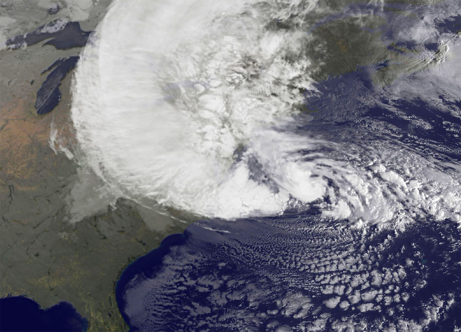
Hurricanes are a type of tropical cyclone or severe tropical storm. These catastrophic storms can produce significant thunderstorms, heavy rainfall, floods, and wind gusts exceeding 155 miles per hour.
The Hudson Valley has experienced effects from many different hurricanes over the years.
Wappinger Creek's Historical Peak Flow
Data Source: These data were compiled by researchers at the Cary Institute of Ecosystem Studies. Data sampling location was at Wappingers Creek at Red Oaks Mill in Poughkeepsie, NY.
Hurricane Floyd
We have also provided more specific data about how Hurricane Floyd impacted Wappinger Creek in Millbrook, NY. Hurricane Floyd struck the east coast of the United States in September 1999. This storm formed off the coast of Africa on September 7 and reached Florida by September 15. It then made its way up the east coast, reaching Long Island by 8:00pm on September 16.2 This hurricane caused major destruction in many of the areas that it affected.
When comparing these data to the historic peak flow data, be sure to take the different sampling locations into consideration.
We also have a related lesson on Hurricane Floyd, which you may wish to complete before using this dataset.
Data Sampling & Compilation
Data Source: Data collected by Vicky Kelly, Cary Institute of Ecosystem Studies at Wappinger Creek, Millbrook, NY.