Data Collection Information and Notes (metadata)
Background Sheet on the Day in the Life of the Hudson
You can also explore this dataset on TUVA, an interactive graphing platform.
Background
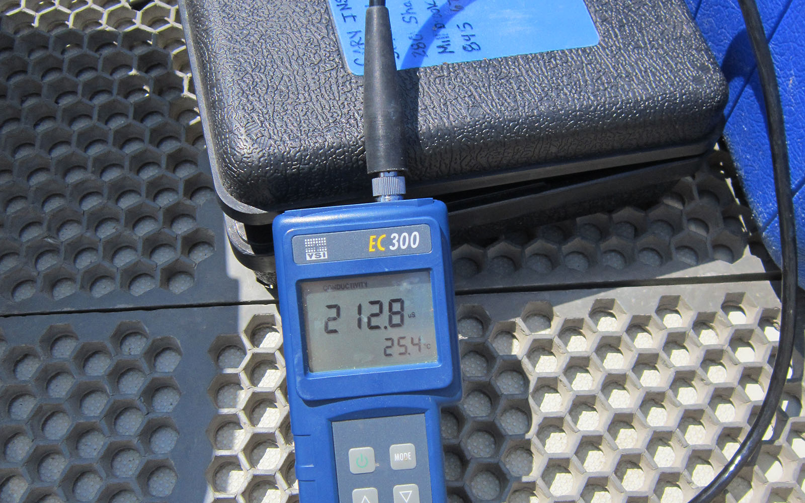
These data show the salinity (salt) levels at seven sites along the Hudson River. Salinity was measured using Quantab strips, hydrometers, and refractometers. Seawater from the ocean generally has a salinity level of about 35,000ppm. Freshwater draining into the Hudson River usually has a salinity level of about 25-50ppm.
On the Hudson River, scientists consider salinity readings of 100ppm or higher as an indicator of the presence of seawater (ocean salt). The salt front, the leading edge of seawater pushing up the Hudson River, is located where salinity equals 100ppm.
Data Sampling & Compilation
These data are from Snapshot Day ("A Day in the Life of the Hudson River"). For one day in October of each year, students (from elementary school to college) and teachers join together to participate in this Hudson River sampling event. Sampling takes place at nearly 70 sites from Manhattan to Troy. This event is coordinated by The Hudson River Estuary Program of the New York State Department of Environmental Conservation and Lamont-Doherty Earth Observatory.
Data Source: Snapshot Day ("A Day in the Life of the Hudson River") data; collected by student and teacher volunteers and environmental educators.