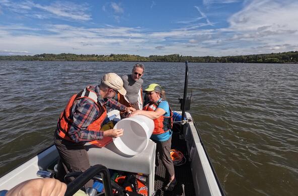
The Hudson River flows through much of the listening area of our flagship station. It is an extension of the Atlantic Ocean that flows from the Narrows in New York Harbor up through the Capital Region and beyond and it is linked to any changes in water levels in the Atlantic and around the globe.
Over the past century, sea level on the Hudson has risen about a foot. This is greater than the global average. The best available data predicts that these levels will continue to rise, perhaps by as much as six feet by the end of this century.
Why is the level rising? Climate change is warming the world’s oceans and water expands when it is heated. On top of that, glaciers and ice sheets in polar regions are melting faster than they can be replenished by winter snows adding vast quantities of water to the world’s oceans. Also, the Gulf Stream is changing which is pushing more water towards the North American Coast.
The potential changes to the Hudson are a matter of great concern to communities and other stakeholders along the river’s corridor. Understanding what water levels will do in the future is essential in developing adaptation plans.
To facilitate this, the non-profit organization Scenic Hudson has created a Sea Level Rise Mapper tool that is available to all interested parties. This sophisticated tool can provide highly detailed information about where future water levels will be. It is available on Scenic Hudson’s website: www.scenichudson.org.
Produced in collaboration with WAMC Northeast Public Radio, this podcast originally aired on March 11, 2015. To access a full archive of Earth Wise podcasts, visit: www.earthwiseradio.org.


