


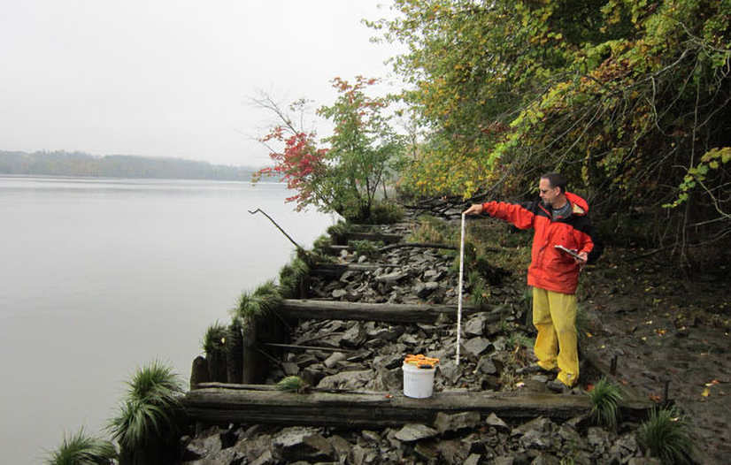
Technology has transformed our ability to understand rivers. Take the Cary Institute's longstanding scientific program on the Hudson River. In the past, to get measurements on environmental conditions, we relied on researchers sampling in boats. Not only is this expensive and time consuming– it isn’t feasible in bad weather.
Today, a network of 12 real-time monitoring stations spans the Hudson, from Troy to the New York Harbor. Day and night, every 15 minutes, these high-tech stations keep a pulse on conditions like temperature, salinity, dissolved oxygen, and water depth. This information complements traditional sampling, and helps inform flood risk, pollution cleanup, restoration efforts, and fisheries management.
Spanning more than 6,700 feet, from Poughkeepsie to Highland, the Walkway Over the Hudson is the nation’s largest footbridge. In addition to stunning views, guests can take in an interactive sign that features real-time river monitoring efforts. Cary Institute scientist Stuart Findlay explains:
“Water depth varies by about 4 ft at high tide to low tide. Dissolved oxygen is affected by the activity of plants and animals and water temperature – cold water holds more oxygen. During summer afternoons, the river’s plants produce a lot of oxygen. Overnight, animals and other organisms use this oxygen, leading to lower levels in the early morning.”
To learn more about Hudson River monitoring efforts, including access to real-time data, visit the Cary Institute website and follow the links to our Hudson River Program.
Produced in collaboration with WAMC Northeast Public Radio, this podcast originally aired on July 3, 2014. To access a full archive of Earth Wise podcasts, visit: www.earthwiseradio.org.
Photo: Heather Malcolm


