A couple of years ago, North Carolina’s legislature became a laughingstock across the nation by voting to ignore the increasing rise of sea level in setting the rules for development along its coast. As humorist/philosopher Stephen Colbert put it: “If your science gives you a result you don’t like, pass a law saying the result is illegal. Problem solved.” We can hope that in its current deliberations, the legislature will follow a better course, one informed by science and not driven by overzealous land developers.
So here is the science lesson that ought to inform our decision-making.
Three factors contribute to sea level rise: more water in the oceans, the expansion of existing water, and changes in the height of the coastal lands.
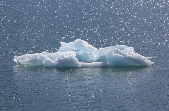
Unfortunately, all three factors are pointing in the same direction when it comes to the coast of North Carolina. First, more water is currently entering the oceans, due to melting of the Greenland and Antarctic ice packs, which are carefully measured by the NASA GRACE satellite that is orbiting the Earth.
Sea level is also rising because the oceans’ waters are getting warmer, as measured by the U.S. Navy during the past 50 years. (The Navy has historically made these measurements because the temperature of water is important to buoyancy and the transmission of sound in seawater.) Pure water expands as it warms above 38 degrees F.
And finally, sea level is rising along the North Carolina coast because the height of land is falling, especially towards the northern parts of our coastline. This is known as coastal subsidence, which results from ongoing adjustments of the Earth’s crust to the last continental glaciation 18,000 years ago.
The long-term rate of sea level rise is about 1.2 millimeters per year—or about one inch every 20 years. This has been measured in various places around the Earth using tide gauges, generally located in harbors and read for more than 100 years. But the tide gauges also show a curious increase in the rate of sea level rise in recent decades. This accelerated rise in sea level is confirmed by the TOPEX-Poseidon satellite, which records changes in the height of the sea worldwide.
A paper just published in Nature by Carling Hay and her colleagues from Harvard and Rutgers reports that the recent rate of sea level rise is about 3.0 millimeters per year, or about 2.5 inches every 20 years. This is consistent with the accelerating loss of polar ice due to the ongoing warming of Earth’s climate at those latitudes. Added to subsidence along the coast, ranging from 0.4 to 1.5 millimeters per year in North Carolina, the increase in the ocean’s volume gives an overall rise in sea level of about 3.25 inches over the next 20 years.
These calculations show that the sea will rise at least 15 inches by the end of the century. The rise is likely to be even greater due to expected acceleration in the loss of polar ice and warming of the ocean’s waters due to climate change. The problem is, of course, exacerbated during hurricanes and other coastal storms.
A recent report from the Department of Defense shows that the nation’s admirals regard sea level rise as a serious threat to the Navy’s ports. They are concerned about sea level rise, and you should be too.
This problem should especially concern any landowner or investor of ocean-front property along the North Carolina coast. But rising sea level affects the rest of us via the tax dollars that are spent dealing with disaster relief and the repair of roads, breakwaters, and other infrastructure along the coast.
We know the coast is subsiding, the seas are rising, and the rate of rise is increasing. When it comes to planning for coastal development, let’s hope that this time our legislators can get it right.
Reference


